In recent years, Australia has faced increasing traffic congestion, particularly in major cities like Sydney and Melbourne. With urban populations rising and roadways becoming more crowded, the need for effective traffic calming measures has never been more pressing. From reducing accidents to improving air quality, addressing traffic issues has become a ‘burden’ for urban planners. This is why they tend to rely on a particular method known as the ‘Traffic Analysis Zone (TAZ)’ as a solution.
In this article, we discover what precisely the Traffic Analysis Zone is and how it can aid in reducing traffic and optimising urban development in Australia.
In this article, we discover what precisely the Traffic Analysis Zone is and how it can aid in reducing traffic and optimising urban development in Australia.
Defining a Traffic Analysis Zone

- TAZ is a specific area within a city or region used for studying and analysing traffic patterns, vehicle movements, and transportation needs. It divides a city into smaller sections to help urban planners, traffic engineers, and local governments understand how traffic behaves in different parts of the city.
- In TAZ in Australia, this division of urban areas allows planners to make data-driven decisions on improving road infrastructure, public transport systems, and overall traffic management. If we look into urban planning in Australia, it relies on this tool to plan the future growth of cities while considering how traffic will flow and how people will move.
- As it helps analyse data like vehicle counts, road capacity, and population density, TAZ helps experts predict traffic trends and make necessary adjustments. For example, planners can identify areas where traffic congestion is a problem and find ways to ease it, such as widening roads or adding new public transport routes. TAZ also aids in determining the best places for new developments, as traffic patterns affect how easily people can access services and work. It plays a role in making sure roads are safe and efficient, especially in growing cities.
- With the increasing use of technology, such as GPS and mobile data, the analysis of TAZ has become more accurate, enabling better planning for the future. Using TAZ allows cities in Australia to balance development with effective traffic management, making sure their transportation systems are efficient and sustainable for years to come.
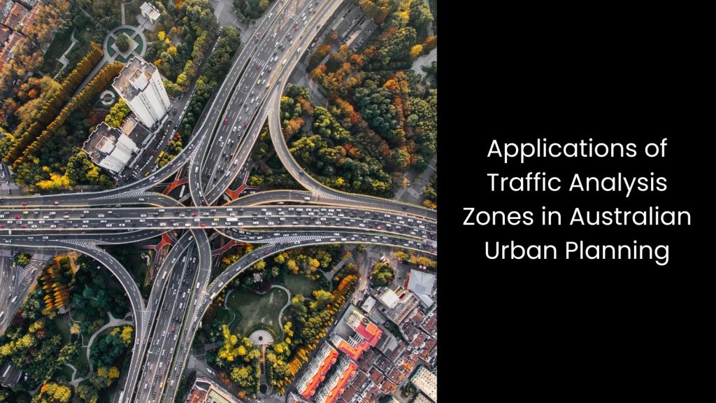
Applications of Traffic Analysis Zones in Australian Urban Planning

Infrastructure Development and Road Expansion
You know how important it is for a country to take necessary action when trying to reduce traffic flow. One such path is undoubtedly infrastructure development and road expansion.
If we look at traffic analysis in Australia, one main factor we see is that it relies heavily on TAZ data to optimise infrastructure development and road expansion projects. The Traffic Analysis Zone method helps urban planners and engineers analyse how traffic flows through different areas, providing valuable insights into where new roads, highways, and bridges are most needed.
Once they study TAZ data, planners can identify high-traffic zones, areas with congestion, and regions that experience rapid population growth. This data allows for informed decisions about where to expand the road network or build new infrastructure to meet future demands. For example, in cities like Sydney or Melbourne, TAZ data can show which neighbourhoods experience heavy traffic during peak hours, signalling the need for road widening, new lanes, or improved public transportation options.
Traffic Analysis Australia also helps assess areas where road infrastructure is outdated or inadequate, ensuring that new developments address these gaps. Also, TAZ data is used to prioritise infrastructure projects such as new roads, highways, and bridges based on traffic patterns and population growth projections. This ensures that the planning process takes into account both current and future traffic needs, balancing long-term growth with immediate demands.
Public Transport Route Planning
In Australia, over 2 million people use public transport daily, relying on buses, trains, and trams to get to work, school, and other destinations. In order to improve the efficiency of these services, Traffic Analysis Zones Australia uses the TAZ data method, which helps optimise public transport route planning.
Let us explain this more precisely. TAZ data supports optimising bus, train, and tram routes by identifying areas with high demand for public transport services. Since they can examine traffic patterns and the number of people moving through different areas, planners can determine where to introduce new routes or increase the frequency of existing ones. This method helps ensure that public transport systems meet the needs of the growing population, especially in urban areas.
It occurs this way: TAZ data can show where people frequently use public transport and where there may be gaps in service. In cities like Sydney and Melbourne, planners can use TAZ data to identify areas with high commuter traffic, ensuring that bus and train routes align with these demand hotspots.
Land Use and Zoning
This is valuable, especially when it comes to Australian transport planning.
You already know that this has the power to analyse traffic patterns and population density. Using this data, authorities in urban planning in Australia ensure that residential, commercial, and industrial areas are correctly planned with transportation needs in mind.
Urban planners use TAZ to make informed land-use decisions, including residential, commercial, and industrial zoning, ensuring that transportation networks are effectively integrated. The data from TAZ helps identify areas that are likely to experience high traffic volume due to population growth or economic activity. With this information, planners can strategically zone land to avoid overcrowding and ensure that roads, public transport, and other infrastructure can handle future demands.
For example, suppose TAZ data shows a particular area has heavy commuter traffic. In that case, urban planners may prioritise developing residential areas near public transport hubs to reduce traffic congestion. Alternatively, commercial or industrial zones may be planned in areas where roads and highways can efficiently handle the expected number of vehicles. This method also helps balance the development of new neighbourhoods or business districts with the need for well-connected transportation networks.
Congestion Management and Traffic Flow Optimisation
Did you know that in Victoria, traffic congestion costs the state’s economy over $6 billion annually?
There is a pressing need to tackle this growing issue, and this is where the Traffic Analysis Zone method stands out.
As we mentioned above, TAZ helps identify areas with high traffic volumes, allowing planners to develop strategies to reduce congestion and improve traffic flow. By dividing a city or region into smaller zones, planners can analyse traffic data to pinpoint which areas experience the most congestion during peak hours. With this insight, they can implement targeted solutions such as adding new lanes, optimising traffic signals, or improving public transport in congested areas.
Think about cities like Melbourne, where congestion is a constant challenge. TAZ data allows planners to assess which intersections or routes suffer the most delays and prioritise improvements in such cities. For example, TAZ data can show where traffic bottlenecks occur, allowing authorities to adjust traffic light timings or widen key roads to keep traffic moving smoothly. On the other hand, planners can use TAZ to assess the impact of new developments on traffic and adjust infrastructure accordingly. This method also supports sustainable urban planning by promoting public transport options in high-traffic areas, helping to reduce the number of cars on the road.
Optimising Traffic Analysis Zone Activities via Predictive Analytics

You may have realised that conducting a comprehensive Traffic Analysis Zone for an entire country is no small feat. Yes, it is certainly a challenge to cover every aspect accurately. However, integrating a robust software suite with predictive analytics can transform this task, allowing planners to anticipate future traffic trends and optimise current systems, paving the way for more innovative, more efficient cities.


