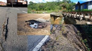
Disaster management has become increasingly reliant on advanced technologies to mitigate the devastating effects of natural and man-made crises. Among the most revolutionary tools emerging in this space are drones, or unmanned aerial vehicles (UAVs). These high-tech devices offer real-time insights, improved communication capabilities, and safer methods for emergency responders to evaluate hazardous environments. As climate change and urban expansion heighten the frequency and severity of disasters, the demand for innovative solutions has grown. Drones are filling that gap, offering flexible and rapid response mechanisms that traditional methods cannot match. Whether used to monitor wildfires, inspect collapsed infrastructure, or deliver medical supplies, drones continue to redefine how we prepare for, respond to, and recover from disasters.
This article explores how drones enhance disaster management and emphasises their growing importance in creating more resilient communities.
This article explores how drones enhance disaster management and emphasises their growing importance in creating more resilient communities.
We will discover
- Why Drones Are a Game-Changer in Disaster Management
- Key Benefits of Using Drones in Disaster Management
- Core Functions of Drones in Disaster Operations
- Real-Time Surveillance and Monitoring
- Communication Network Support
- Mapping and Data Collection
- Logistics and Payload Delivery
- Risk Assessment and Damage Evaluation
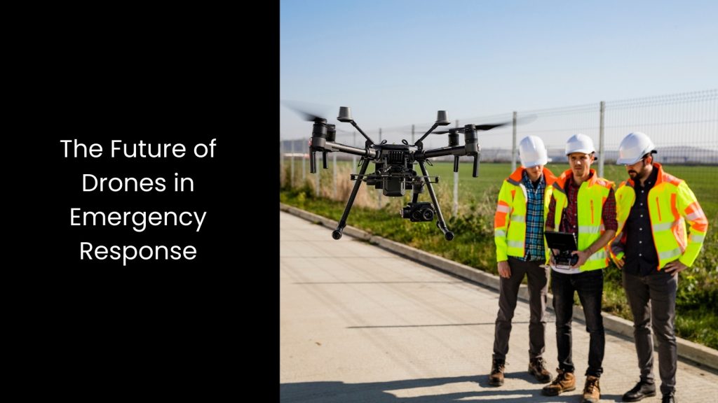
4. The Future of Drones in Emergency Response
5. Employing Drone Technology Embedded Software for Disaster Management
Why Drones Are a Game-Changer in Disaster Management
- Traditional disaster response usually involves ground-level operations that can be slow, dangerous, and resource-intensive. When access to affected areas is restricted due to debris, flooding, or unstable infrastructure, we have seen that response teams struggle to assess situations accurately and promptly.
- This is where drones solve many of these challenges by offering aerial perspectives and reaching areas inaccessible to humans or ground vehicles. With their ability to fly at various altitudes, hover in place, and manoeuvre through tight spaces, drones offer a comprehensive view of disaster zones in minutes.
- Emergency responders can use drones to conduct initial assessments from a distance, minimising exposure to unstable buildings, toxic spills, or ongoing fires. Moreover, the integration of sensors, such as thermal imaging and LiDAR, allows for precise data collection even in low visibility conditions.
- In many regions, deploying drones also means a faster and more scalable response, especially when compared to deploying manned aircraft or assembling large ground crews.
- These factors make drones indispensable assets for timely, effective, and life-saving disaster response operations.
Key Benefits of Using Drones in Disaster Management
- Cost Efficiency – Deploying drones is normally less expensive than using helicopters or large aircraft. This cost-saving measure is crucial for countries or regions with limited disaster response budgets.
- Rapid Deployment – Emergencies require immediate response. The authorities can launch drones within minutes, enabling first responders to gather vital situational data before setting foot in the affected area.
- Real-Time Data Sharing – High-definition cameras and live-streaming capabilities allow decision-makers at command centres to receive instant visual updates. This enables faster and better-informed decisions.
- Risk Reduction – Instead of sending human teams into hazardous zones, drones can perform the initial assessment, dramatically reducing the risks to emergency personnel.
- Environmental Monitoring – Drones can monitor environmental changes during and after disasters, such as chemical spills or changing water levels, ensuring public safety and aiding in mitigation planning.
Core Functions of Drones in Disaster Operations
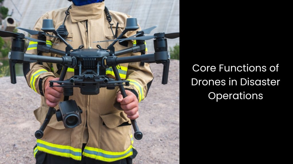
Real-Time Surveillance and Monitoring
One of the primary roles of drones in disasters is real-time surveillance.
They provide live aerial imagery that helps authorities monitor ongoing events, assess the scale of damage, and track the movement of people or hazardous materials.
Surveillance drones can be especially useful during fast-evolving disasters such as wildfires or floods, where real-time data is critical for timely decision-making. Furthermore, it is possible to deploy them at night using infrared sensors to detect movement and heat, enhancing visibility in low-light scenarios and expanding operational hours.
Communication Network Support
In many disaster scenarios, the existing communication infrastructure is damaged or destroyed.
Drones can help re-establish communication by acting as temporary aerial communication hubs. Equipped with signal boosters, cellular modules, or Wi-Fi transmitters, drones can provide wireless coverage in areas where networks have gone offline.
This ensures that rescue teams remain connected and coordinated, significantly enhancing operational efficiency.
Some advanced drone systems can even facilitate two-way communication, allowing stranded individuals to relay their positions and conditions back to response teams.
Mapping and Data Collection
Drones equipped with LiDAR, GPS, and high-resolution cameras can generate accurate maps and 3D models of affected areas.
These maps are vital for understanding the topography, identifying blocked roads, and planning evacuation or supply routes. Real-time mapping also aids in damage assessment, enabling teams to prioritise resource deployment.
You can integrate drone data with Geographic Information Systems (GIS) for long-term planning and risk analysis. This capability is especially helpful for disaster-prone regions that require constant monitoring and adaptive planning strategies.
Logistics and Payload Delivery
Drones are increasingly being used to transport medical supplies, food, and essential equipment to isolated or hard-to-reach areas. This function is especially important during the initial stages of a disaster when access by road or air is limited.
Drones can deliver payloads quickly, reducing delays in aid distribution and potentially saving lives. Some drone models are specifically suitable for heavy lifting, capable of carrying defibrillators, vaccines, or even water purification kits.
Their use streamlines logistics and ensures that life-saving materials reach affected communities promptly.
Risk Assessment and Damage Evaluation
After a disaster, assessing the extent of damage is a must for recovery efforts.
Drones can scan large areas in a short time, identifying collapsed buildings, damaged infrastructure, and other hazards. This aerial data enables emergency responders to prioritise actions and deploy resources where they are needed most.
Using AI algorithms, drones can even analyse collected imagery to classify levels of damage and identify safe paths for rescue teams. Further, thermal imaging sensors also assist in detecting survivors trapped under rubble or hidden by vegetation, improving the chances of successful rescues.
The Future of Drones in Emergency Response
- As drone technology continues to advance, its role in disaster handling will become even more impactful.
- Emerging trends such as artificial intelligence (AI) integration will allow drones to autonomously identify threats, detect survivors, and analyse environmental conditions in real-time. AI can also assist in predictive modelling, helping agencies prepare for potential aftershocks, floods, or secondary hazards based on current data trends.
- Swarm technology is another innovation on the horizon, where multiple drones can operate collaboratively to cover larger areas more efficiently. This system enables coordinated missions that can handle complex tasks, such as simultaneous surveillance and supply delivery.
- Additionally, improvements in battery life and payload capacity will extend drone operational time and capabilities. Hybrid drones and solar-powered models are being tested to support longer missions in remote areas.
- Public-private partnerships are expected to play a significant role in future drone deployments. Collaborations between tech companies, humanitarian organisations, and government agencies can accelerate innovation and expand access to drone technology in disaster-prone regions.
- Training programmes for drone operators and emergency responders will also be crucial to maximise the potential of drones in disaster management. As communities become more vulnerable to climate-related threats, the integration of drones into emergency response plans will not only improve immediate outcomes but also support long-term resilience.
Employing Drone Technology Embedded Software for Disaster Management
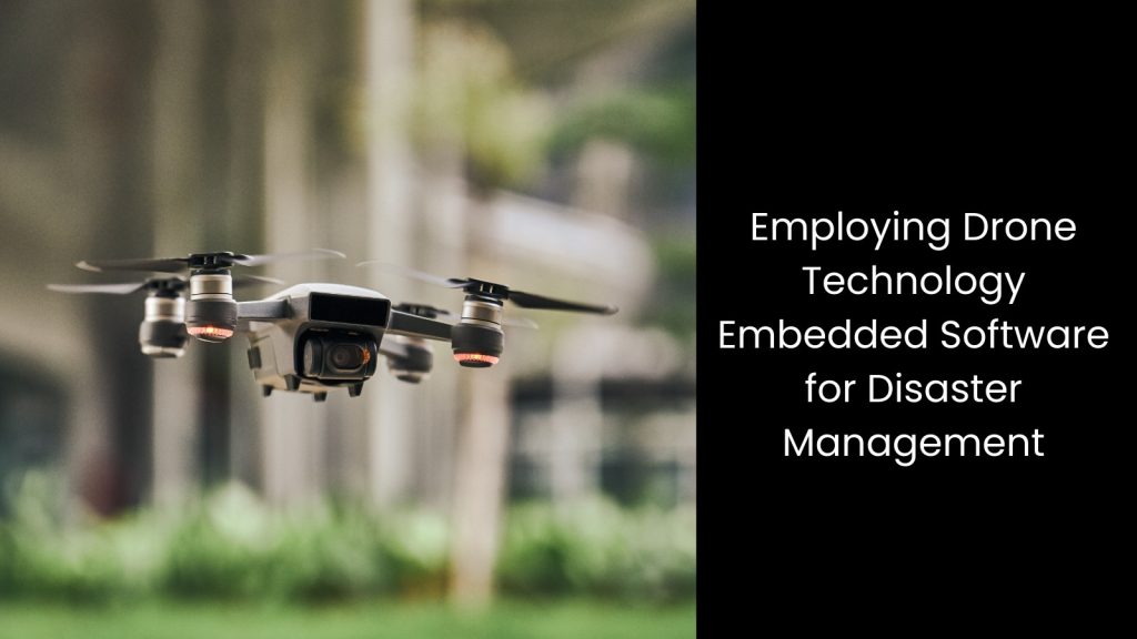
Drones have revolutionised disaster management by offering faster, safer, and more accurate methods for assessment, communication, and logistics. Their integration into emergency response frameworks and software suites enables authorities to make informed decisions, reduce human risk, and streamline recovery efforts. As technology and regulations continue to evolve, drones will undoubtedly become an even more essential asset in managing disasters effectively. Embracing drone technology is not just a trend but a necessary evolution in building disaster-resilient societies.