New-age technologies are instrumental in optimising a series of industrial domains; therefore, they have been phenomenally impactful in addressing the most pressing issues in multidisciplinary and intricate water challenges. EO (Earth Observation) data and geospatial information systems are now gaining a seat in the spotlight because water infrastructure managers gain substantial benefits by integrating satellite data to capture disaggregated insights across scales to make smarter, agile plans and decisions. Satellite technology has filled the gap of information by delivering more precise, dynamic information for water specialists to make smarter decisions and refine their policy instruments. Learning about how this technological capability can facilitate the water industry will help you understand how to optimise the water management strategies of your city, state or country.
Why are water utility service enablers so invested with the overarching theme of satellite technology? Elucidate yourself by digging into this article; it helps the reader understand how satellite technology helps water utility service providers in utilising satellite-based digital tools to optimise water management.
Water Management Overseen 30,000 KM Away?
- Improve and optimise water infrastructure management
- Understand the gap between water supply and community demands
- Understand the operational requirements from the watershed to the consumer’s tap
Satellite technology allows water specialists to analyse two of the most vital aspects of water: water quality and water quantity.
Satellite Technologies and Water Quality
Firstly, water quality is measured via multispectral technologies; this technology captures remote sensing images to detect whether water is impure or contaminated by human-made disasters or natural causes (like blue-green algal bloom growth). Situ measurements can be correlated with satellite images to create comprehensive hydrological models that represent ecological and hydrodynamic information. The high spatial and temporal resolution forecasts can then allow the user to gain insights into the real-time and future water quality levels of a target water body.
Satellite technologies help water quality assurance teams to optimise water treatment plants with better insights into raw water quality rates. By uniting remote sensing information to AI models, they can improve the efficiency of water purification and reclamation centres alike.
Satellite models can also be advanced with AI and ML algorithms that allow data scientists to create early warning systems that alert water quality assurance teams and water utility service providers of substandard water quality levels.
Satellite Technologies and Water Quantity
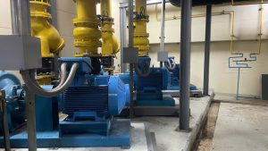
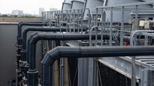
Secondly, Satellite driven digital technologies offer the best plans for events of low water quantities even during humid weather or excess water demands during certain periods. Satellite technologies are used to detect new water sources and measure the quantity of water in natural basins, reservoirs and mountain ice. Satellite-driven radar data allows water explorers to correlate parameters and find underground water behaviours. It can detect water moisture levels in soils to detect underground pipe breakages and inform maintenance teams to make quick decisions to prevent water from being needlessly wasted. The satellite-driven interferometric techniques are mainly used in monitoring the unusual behaviour of water infrastructure.
Satellite altimetry databases, temporal resolution models and other remote sensing models allow water managers to use IoT technology to combine different sources of water data to identify water levels of any water body. The changes detected in these water levels not only provide insights into terms of water levels but also give valuable exposure to understanding how climatic changes are unprecedented and unnatural.
The Future From Satellite To Tap
Water is an invaluable commodity, especially when extreme environmental changes are leading to water scarcity across the globe; this is why safeguarding water resources is too important in any country. Satellite technology enables EO capabilities and satellite-aided timing, positioning and navigational data to allow water utility service providers to gain resilience in adverse environmental changes, water wastage, spontaneous water infrastructural damages, water contamination and a range of other challenges.
Water quality experts and managers should set national goals on ensuring equitable access to potable water, improved water quality and quantity, eliminating water scarcity and optimising water-related ecosystems by entrusting satellite technologies. Satellite technology has already massively contributed to finding solutions for the direst water issues across the globe; thus, allowing it to lead the world towards a water-preserving future is undeniably something that will automatically happen. Are you ready to head to a satellite-based water future?