Algae- primary photosynthetic organisms in water bodies- can be seen as a common harmless natural cause, but did you know that they can be more sinister under certain conditions? The threats that are caused by HABs (Harmful Algal Blooms) can be very severe- sometimes even fatal- which is why periodic sampling on lakes that are dispersed around a country is no longer a reliable method of mitigating the risks of HABs. As much as it is happening at many locations simultaneously, it is also a hazard that is caused by varying trends in different locations, thus, making it a threat that cannot be measured and controlled using traditional inspection approaches.
Technology enthusiasts, innovators and state natural resource protectors have collaborated in coming up with a different perspective to overcome the inspection shortcoming of HABs: Landsat Data Technologies Powered by Satellites. This article will help you understand how the satellite data technologies have kept a tremendous success in allowing water and wastewater specialists to easily understand the behaviour of harmful algal blooms and how they are now capable of eliminating algal blooms at their premature stages.
Why Exterminate HABs?
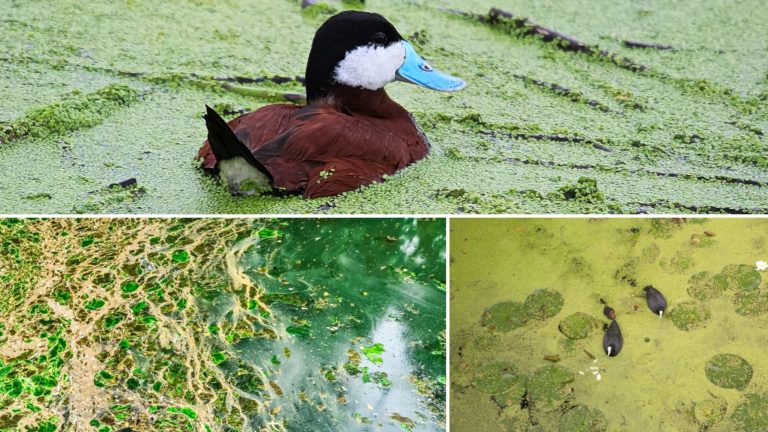
- Toxicity: Toxic algae can poison living things exposed to it, leading to frail health conditions or death. Some of these types of algae produce airborne cyanobacterial infections that can cause sickness to humans and animals alike.
- Non-Toxic Yet Harmful: Non-toxic algae eat up oxygen, clog the gills of fish, block the submerged aquatic plants from getting sunlight, smother corals and more. They can cause sudden threats to lake users.
- Contaminators: Some algae can discolour and emit a foul odour on freshwater bodies. This contaminates potable water, and if someone uses it orally or to clean it, they can fall sick severely.
Space-based HAB Treatment
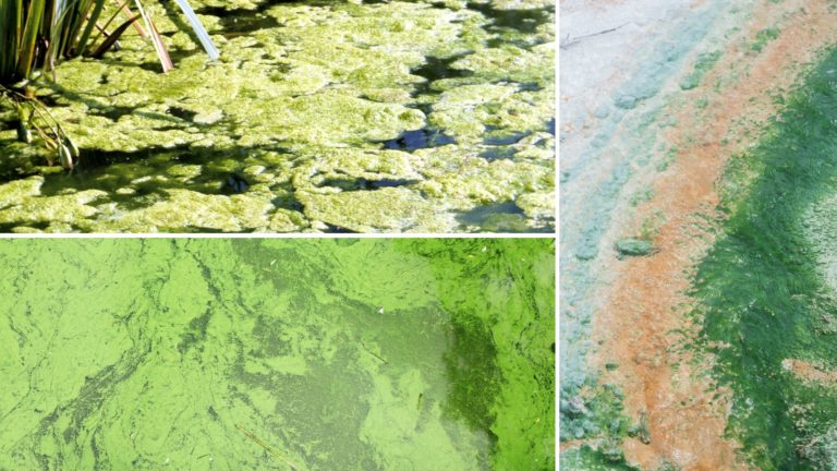
The time of collecting samples from water bodies is time-consuming; by the time the results have been announced, the behaviour of the HAB can be adapted due to natural events, and threats can remain persistent and unprecedented. This is why most government sectors are exploring the perks of satellite technologies to ensure that the spread of HAB populations are handicapped and eventually shunned as soon as possible.
By pairing sensor data with satellite data, HAB specialists are now enabled with a fact-based tool to understand the variating trends of HABs in different locations using scalable GIS maps. This technology allows the water quality assurance teams to highlight HAB-prone water areas and detect algal blankets that must be soon treated. More importantly, this technology gives light to the precautionary and risk mitigation initiatives that can be taken by the government to protect wildlife and humans from being exposed to HABs.
This technology can be used to warn swimmers, communities in coastal and lakeside areas and other water users in broad areas- even as broad as a whole country if implemented correctly. This is why the use of satellite technology is indispensable for ameliorating the threats of HABs to marine ecosystems, birds, pets and humans.
How are Satellites Used to Treat HABs?
EO (Earth observation) data has been collected by NASA using Landsat technologies since the 1970s. This technology is used to organise electromagnetic waves into ‘spectral bands’ and discern the reflectance values to utilise the wealth of satellite data. They allow the satellite data analysts to monitor temperature fluctuation and photosynthetic activity with an all-day-all-night monitoring system.
One of the most recent missions of this technology is the Landsat 8 spectral band that is sensitive to a wavelength range that allows the user to precisely apply the technology based on the purpose in mind. Each band serves a specific purpose; for example, Band 2 is used to distinguish coniferous vegetation from deciduous vegetation. However, when the bands are blended (hyperspectral), the EO analytics tools can infer the chlorophyll floating on water bodies- in other words: blankets of algae.
Predict Bloom Occurrences to Clean Portable, Coastal and Recreational Water Bodies: Depending on the spatial properties of the spectrally-active compounds, All points of the earth have different absorbance and reflectance properties. The remote sensing data and high-pixel images captured by Landsat 8 allows the predictive analytics algorithms to use AI and factually estimate the chlorophyll concentration on water bodies and even before they visually appear on the water. Thus, making this satellite technology an all-in-one solution to detect algal behaviour in all regions and all seasons at a country-wide scale.
This technology can analyse and give actionable insights on tailoring risk mitigation plans, protecting water users from being exposed to HABs and clean water bodies in a safer, riskless and cost-efficient manner. When paired with new-age visualisation tools like DIgital Twin, Simulation and GIS Layers, this technology becomes an indispensable solution to predict HAB behaviour and exterminate them once and for all. Another satellite technology used for this purpose is MERIS (Medium Resolution Imaging Spectrometer) which uses Sentinel-3 OLCI (Ocean and Land Colour Imagers).
Understand the Types of Algae in Hard-to-reach Areas: The Spectral Mixture Analysis of Landsat 8 technology can also allow the algae monitors to have a powerful surveillance system. This technology can be used for SMASH (Surveillance of Harmful Algal Blooms) to not only study the trends and behaviours of the algal homes but also determine the type of algae that are colonising any said location of the water body. The researchers who are planning to utilise the technology look forward to building a library that helps technology specialists in training AI models to identify the best match to treat an algal bloom by understanding its type through reflectance characteristics of algae. Even though this 2021 project is yet at the proof-of-concept stage, it was given remarkable recognition by probable users.
Tigernix Has Started The Journey To Ensure Cleaner Water Bodies in Australia
Tigernix is one of the few water technology specialists in Australia to enable trained protocols that help users to predict the HAB behaviour on water reservoirs and other water bodies. Our technologies are developed with a bundle of new-age technologies like Digital Twin, Simulation, Satellites Technology, IIoT, AI and GIS Maps that allows water utility service enablers to keep track of the quality and potability of water.
Satellite Technologies Are on A Mission to Meet The Extinction of HABs
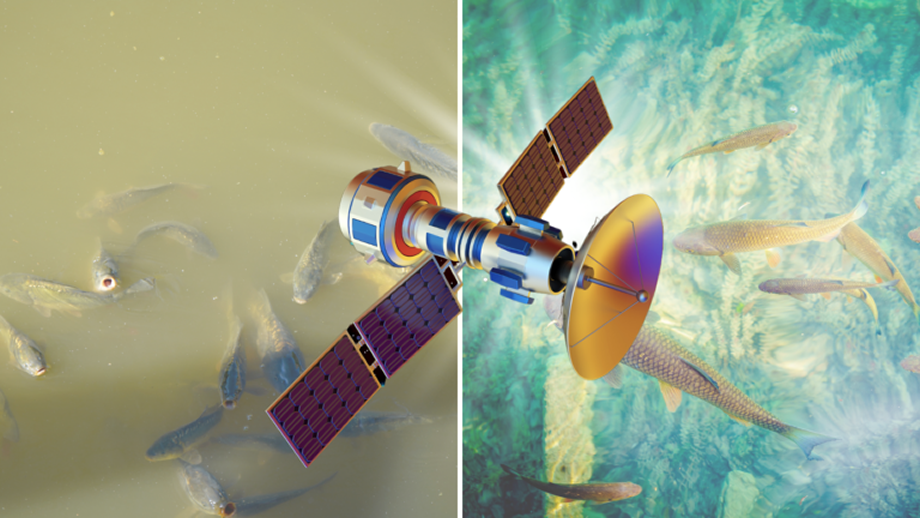
he hyperspectral remote sensing technologies are blended with ground-based sensor technologies, the extinction of algal bodies will be closing up. These technologies are still in premature stages but are showing remarkable results. With global warming, reduced rainfall, pollution and nutrient enrichment the breeding of HABs are accelerating, so satellite technologies for SMASH will keep developing and ensuring that our water bodies are threat-free and fresh for all animals and humans.

