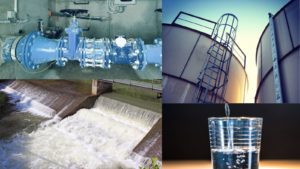
Australia is a land of diverse landscapes, from sprawling outback deserts to vibrant coral reefs and whatnot. Just like any other country with such landscapes, Australia encounters many challenges due to them. This is why the authorities have to maintain a proper mapping system. However, those traditional mapping methods usually fall short, providing a limited perspective or lacking the necessary resolution. This is where ‘Aerial Imagery Maps’ come in, revolutionising the way we see and understand the Australian continent. From urban planning and environmental monitoring to infrastructure management and disaster response, aerial imagery maps are transforming numerous industries across Australia.
In this blog article, we explore the top benefits of aerial imagery maps for Australia.
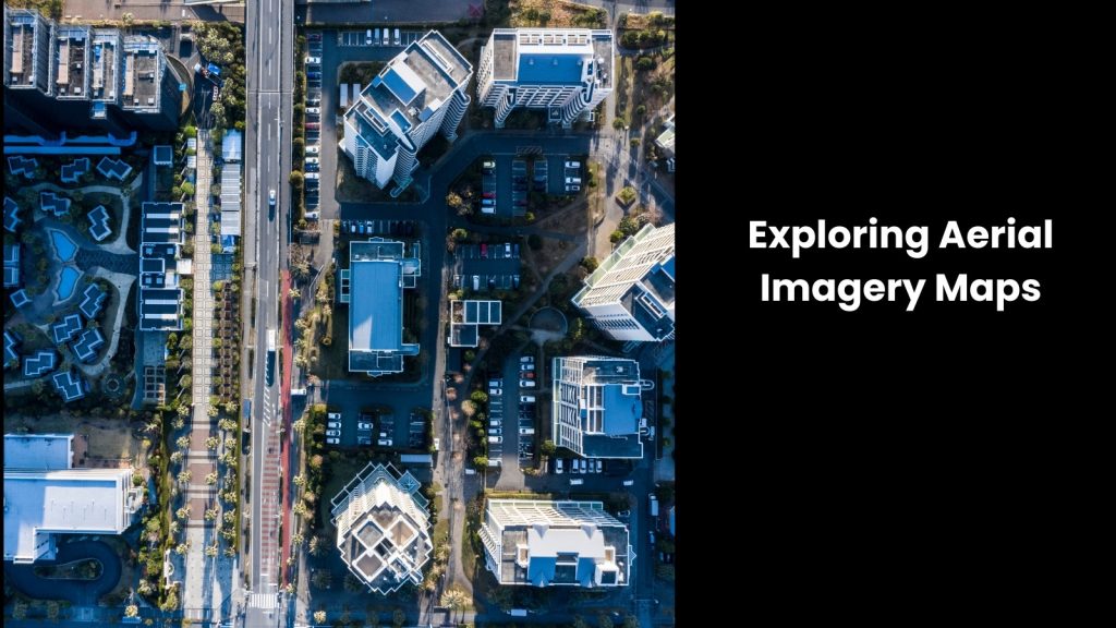
Exploring Aerial Imagery Maps
- Think of this as detailed pictures of the Earth’s surface taken from aircraft or satellites.
- Surpassing the competition, Australia uses them extensively in construction and disaster management because they provide clear views of landscapes. This helps construction, disaster management, risk assessment planners, and responders understand terrain and potential risks.
- So, how does this differentiate from the rest? Unlike other mapping tools, such as traditional maps or satellite images, aerial imagery maps offer high-resolution visuals that show precise details like building outlines, vegetation types, and even road conditions.
- This makes them valuable for urban planning, where accurate depictions of land use and infrastructure are necessary.
- Especially in fields like disaster management, these maps aid in assessing damage and planning relief efforts by showing affected areas in great detail. With the help of these aerial imagery maps, Australia can efficiently plan construction projects and respond to emergencies more effectively. Not only that, but they also have the ability to manage natural resources with up-to-date and precise visual information.
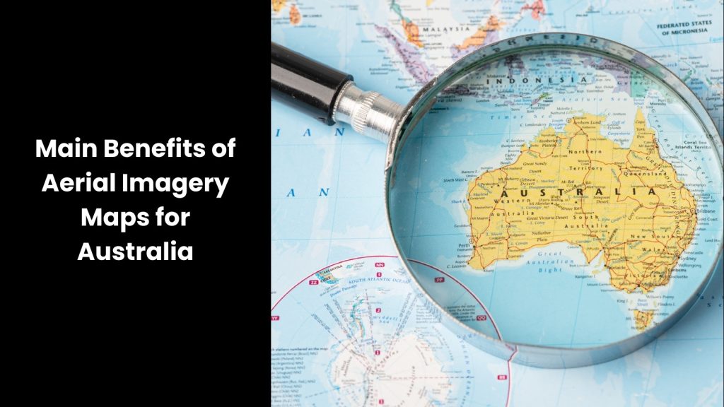
Main Benefits of Aerial Imagery Maps for Australia
Remotely Conducting Site Inspections
Are you fed up with sending your teams for different site inspection processes?
Aerial imagery maps are essential for such scenarios, and let us show you how. These are vital to conducting remote site inspections independently. They allow officials to view vast areas from above without needing a team on the ground.
This capability is beneficial in Australia’s vast and diverse landscapes, where accessing remote or hazardous locations can be difficult and costly. With the use of aerial imagery maps, site inspectors can assess infrastructure, monitor environmental changes, and evaluate construction sites with detailed visual information.
As you can see, this eliminates the need for extensive travel and reduces the logistical challenges associated with on-site inspections. Moreover, these maps provide real-time updates and historical data. The latter enables authorities to track changes over time and make informed decisions promptly.
Take emergencies such as natural disasters, for example. These aerial imagery maps can facilitate rapid damage assessment and aid in planning rescue operations effectively, for sure.
Prepare and Respond to Natural Disasters
Since these maps provide detailed, 360-degree views of landscapes, they indeed help Australian authorities identify vulnerable areas, assess risks, and plan evacuation routes before disasters strike.
During emergencies, such as bushfires or floods, which are also common in Australia, aerial imagery maps offer real-time updates on the extent of damage, helping emergency responders prioritise rescue efforts and allocate resources efficiently.
Yes, it has the capacity to pinpoint affected areas and infrastructure damage quickly. So, these maps back up rapid decision-making and coordination among agencies. In one way, aerial imagery maps aid in monitoring disaster progression and environmental changes, allowing authorities to track the spread of fires or floods and assess their impact on communities and ecosystems. In another way, this information is important for developing mitigation strategies and informing long-term recovery plans.
What is more, the historical data gathered by these maps allows for the analysis of past disaster patterns and trends in the Australian landscape. The latter aids in the development of more resilient infrastructure and preparedness strategies for future events.
Real-Time Data
These maps provide up-to-date and detailed visual information from above. So, the authorities are able to monitor dynamic situations such as traffic patterns, environmental changes, and urban growth.
Not to mention that by utilising aerial imagery maps, Australia can track developments in infrastructure projects, assess land use changes, and monitor natural resources effectively. This real-time data is what helps make informed decisions swiftly, whether in urban planning, disaster response, or environmental management.
Disaster management teams are the people who extract the most out of it! Why do we say that? During emergencies like bushfires or floods, aerial imagery maps offer immediate insights into the extent of damage and the movement of the disaster. This aids in the rapid deployment of resources and the coordination of rescue efforts.
On the other hand, these maps support ongoing monitoring of critical infrastructure in industries like water supply, such as pipelines and power lines, ensuring timely maintenance and swift responses to potential hazards. Plus, these maps support authorities to analyse trends over time, identify emerging issues, and forecast future developments accurately.
Time-Saving
You no longer have to worry about mapping tasks consuming your precious time when you have such technology in place. You know these provide quick and detailed visual information from above, eliminating the need for time-consuming ground surveys or physical site inspections.
In scenarios like urban planning and construction projects, aerial imagery maps allow planners to assess potential sites rapidly, analyse terrain features, and make informed decisions about development without lengthy field visits.
If we move from this a bit, we see that this efficiency extends to disaster management. This is actually where immediate access to aerial imagery helps responders assess the extent of damage and plan rescue operations swiftly.
During emergencies like fire or floods, these maps help Australian authorities identify affected areas promptly, prioritise resources, and coordinate evacuations effectively. Furthermore, in agriculture and land management, aerial imagery maps facilitate precision farming techniques by monitoring crop health, assessing soil conditions, and optimising irrigation strategies without the delays of traditional methods.
Going beyond the capacity of traditional mapping systems, aerial imagery maps support environmental monitoring efforts by providing real-time data on deforestation, habitat changes, and wildlife populations, enabling timely conservation interventions as well.
Enhance Safety Planning
The latter acts as a potent tool in the event of safety breaches in Australia. The authorities can employ the latter technology to identify potential hazards, assess risks, and develop robust safety strategies. In urban areas, aerial imagery maps help planners analyse infrastructure vulnerabilities, such as flood-prone zones or areas prone to landslides, allowing for targeted mitigation measures to be implemented.
This advanced approach enhances the safety of communities by reducing the impact of natural disasters and improving evacuation planning. During emergencies, real-time aerial imagery supports rapid response efforts by providing accurate depictions of affected areas and aiding in resource allocation and evacuation coordination.
This goes well in industries like transportation and logistics, too. Those aerial imagery maps assist in identifying traffic congestion points, monitoring road conditions, and planning efficient routes for emergency responders and supply chains. In industrial settings, they help companies assess potential risks to workers and facilities, ensure compliance with safety regulations, and implement effective emergency protocols.
Saving Lives and the Environment with Aerial Imagery Maps

Saving infrastructure, lives, and the environment is a grand responsibility for the Australian authorities, as this country sees natural disasters once in a while. If they have the potent technology to foresee these challenges, they can get prepared with full force. However, it is also important to go with a brand that has expertise and knowledge in these robust technologies, as integration power becomes the key player here.